
Harvest and effort information is an estimate based on what hunters provided in their mandatory reporting of hunter harvest and effort.
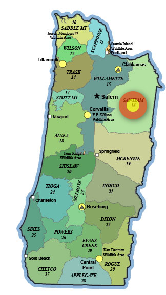
16 – Santiam
Success rate last season: 14%
Total Harvest: 1,105 deer
Total hunters/hunter days: 7,656 / 49,107
4+ pt bucks in harvest: 249 (23%)
Maps: www.oregonhuntingmap.com, unit map / boundary description
63% public land incl. Santiam State Forest, Mt Hood and Willamette national forests and BLM land. TMA
Current private timberland closures and Weyerhaeuser access/permit program information.